


MAPPING DRONE
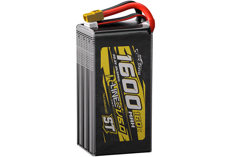
Tattu UAV Battery for Mapping Drone
Mapping drones are specialized UAVs designed for high-accuracy aerial surveys, creating detailed maps, 3D models, and geospatial data for a variety of applications. These drones are equipped with advanced sensors and cameras to capture topographic, environmental, and structural information, making them indispensable tools for industries like agriculture, construction, mining, and environmental management.

Features
Mapping Drone

Feature Highlights

Enables immediate analysis of collected data, helping businesses make timely, data-driven decisions.

Provides accurate, high-resolution data that can be used for precise decision-making and planning.

Drones can access hard-to-reach or dangerous areas, minimizing risk to human surveyors and enabling detailed analysis of previously inaccessible sites.

Reduces the time and labor involved in traditional surveying methods while providing more frequent and up-to-date data.

Mapping Drone
Mapping drones are transforming how industries approach data collection and analysis, providing detailed, accurate, and actionable insights. Whether you're mapping agricultural fields, surveying construction sites, or monitoring environmental changes, a mapping drone offers the efficiency and precision needed for today's fast-paced world.
RELATED NEWS
2026-01-19
Tattu Advances Semi-Solid-State Battery Technology to 380 Wh/kg
Tattu Advances Semi-Solid-State Battery Technology to 380 Wh/kg
2026-01-13
Tattu to Showcase New Energy Solutions at the 2025 Shenzhen International UAV Expo
Tattu will participate in the Shenzhen International UAV Expo, bringing a full lineup of batteries and charging solutions tailored for various UAV applications.
2026-01-13
Tattu at the 2025 Shenzhen International UAV Expo|Day 1 Highlights
Tattu will participate in the Shenzhen International UAV Expo, bringing a full lineup of batteries and charging solutions tailored for various UAV applications.
RELATED PRODUCTS

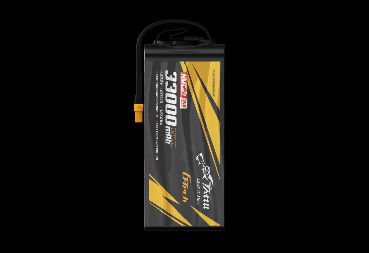
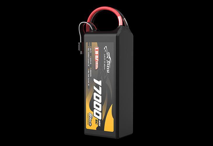
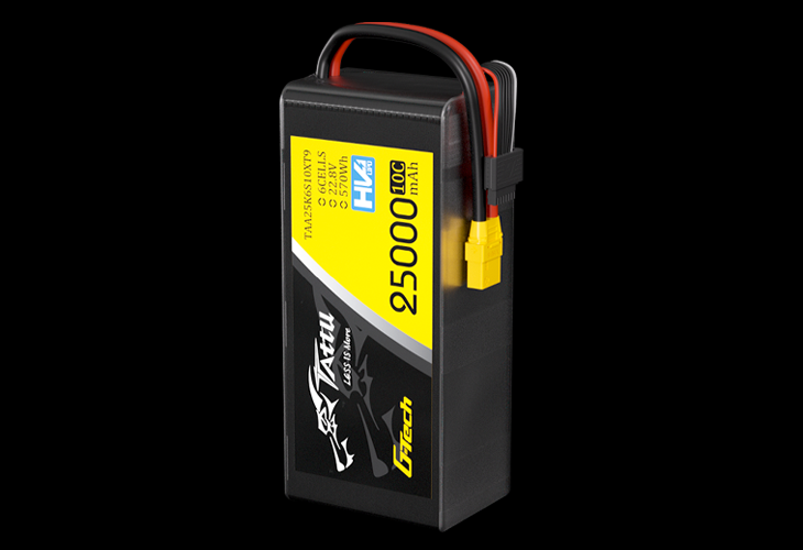
HV 17Ah 15C 22.8V
